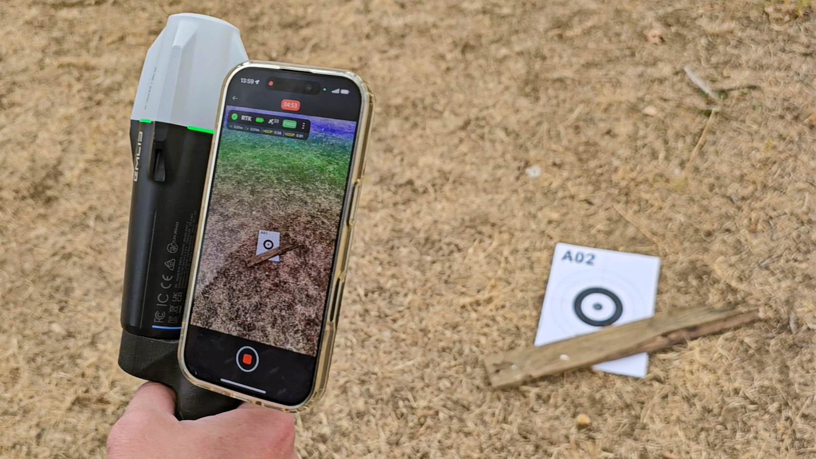
Accurate geospatial data is most valuable when field teams can capture it with ease. We tested CloseOut’s intuitive, easy-to-use GNSS/RTK-assisted LiDAR 3D scanning against professional geodetic surveying across five real-world environments. The results demonstrate centimeter-level accuracy through a workflow designed for everyday fieldwork.
In Field Service Management, accurate geospatial data is essential. From capturing detailed 3D representations of fiber optic trenches to creating accurate, georeferenced Digital Twins, even small positioning errors can affect the reliability of project data.
Professional geodetic surveying remains the reference standard for precise measurements. However, traditional surveying often requires specialized equipment, dedicated personnel, and workflows separate from everyday field operations.
At CloseOut, we believe accurate geospatial data capture should be an integral part of fieldwork – not necessarily an additional activity.
To evaluate how well our technology delivers on that objective, we conducted an extensive accuracy benchmark, comparing geospatial measurements generated by CloseOut’s GNSS/RTK-assisted LiDAR 3D scanning and Digital Twin technology against independent measurements performed by certified surveyors using professional GNSS/RTK and Total Station equipment.
The results provide valuable evidence of the accuracy, consistency, and reliability of CloseOut-generated geospatial datasets under real-world operating conditions.
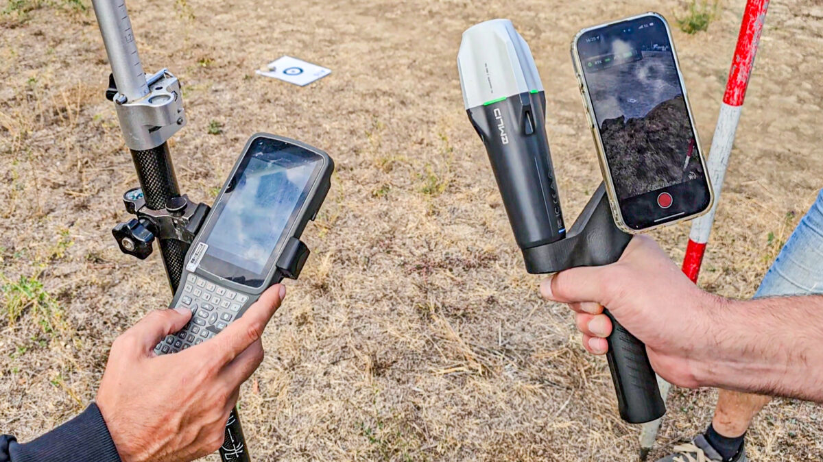
Five Test Sites. Different Conditions. One Comprehensive Benchmark.
The benchmark was conducted in September 2026 across five locations in Belgrade, Serbia, selected to represent environmental conditions commonly encountered during infrastructure deployment and field operations.
These included:
- Open urban terrain: Clear sky visibility and minimal obstacles.
- Mixed terrain: Moderate elevation variations and partial vegetation coverage.
- Tree canopy environments: Reduced satellite visibility beneath mature trees.
- Urban canyon environments: Buildings and vegetation creating challenging GNSS reception conditions.
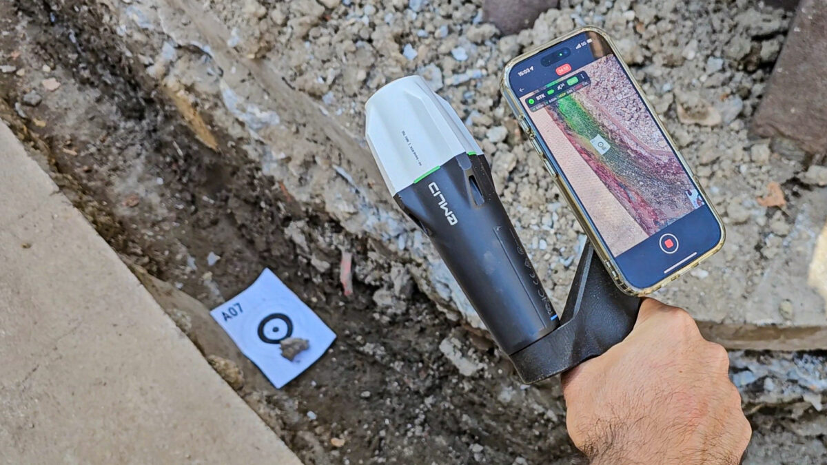
- Linear infrastructure construction: A trench corridor affected by severe satellite signal obstruction.
Rather than evaluating the technology exclusively under ideal conditions, the benchmark was designed to assess performance across environments where geospatial data collection can become significantly more challenging.
How Was Accuracy Measured?
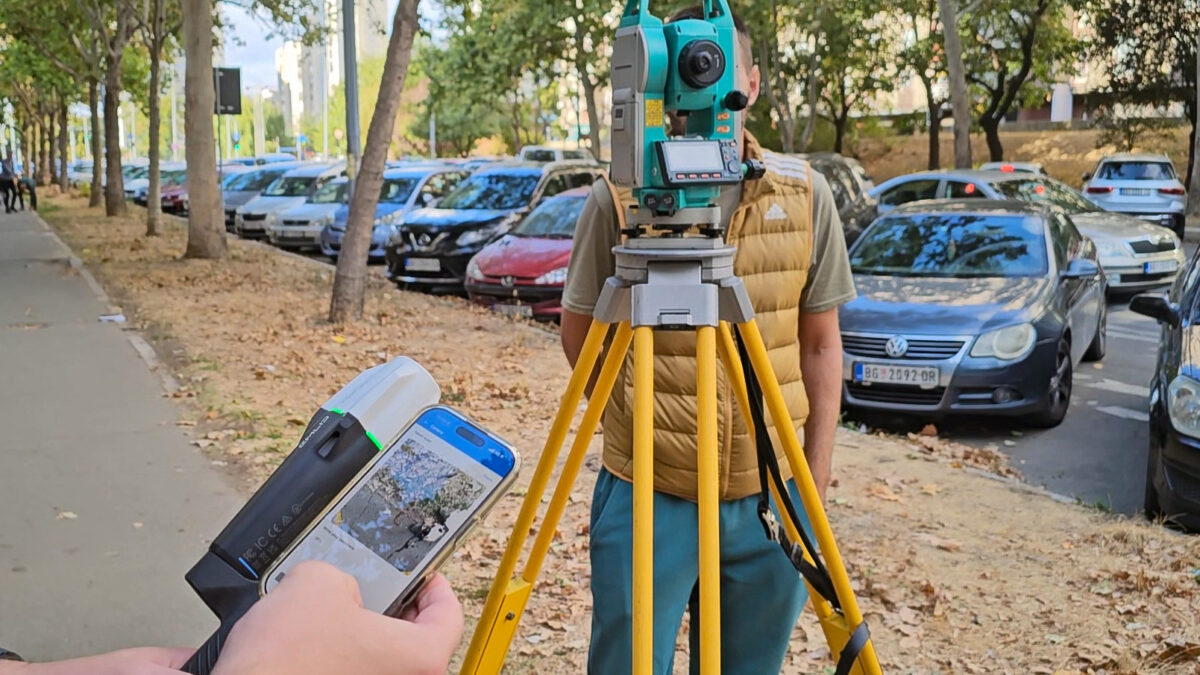
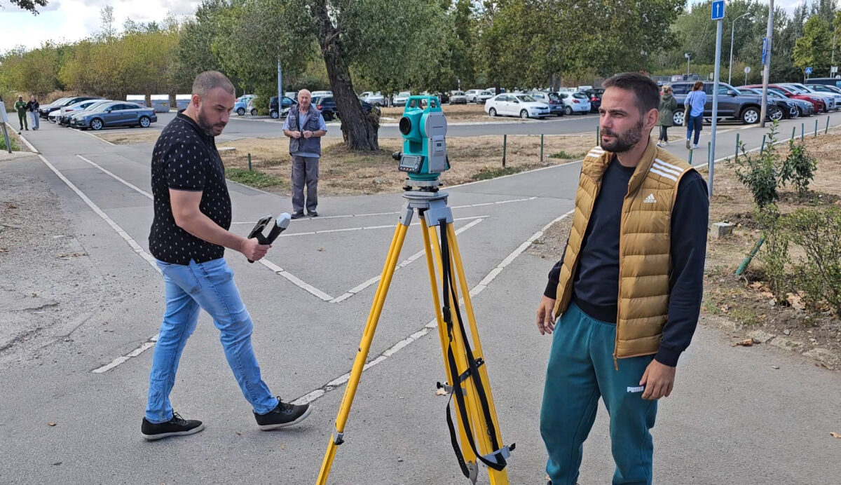
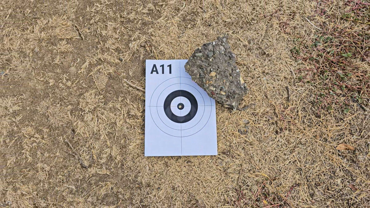
To establish an independent reference, certified surveyors measured designated reference points at the test locations using professional GNSS/RTK rover and Total Station equipment.
These measurements provided the baseline against which CloseOut-generated geospatial data could be evaluated.
Using CloseOut’s mobile LiDAR 3D scanning workflow, the same locations were captured and transformed into georeferenced three-dimensional datasets.
Coordinates were then extracted directly from the generated 3D meshes and compared against the independent survey measurements.
The benchmark evaluated several essential aspects of geospatial performance:
- Positional accuracy: How closely do CloseOut-generated coordinates match professional survey measurements?
- Mesh coordinate accuracy: How accurately can real-world coordinates be extracted from a generated 3D model?
- Dynamic stability: Does changing the scanning direction or movement pattern affect the results?
- Geometric consistency: How accurately are real-world distances and spatial relationships preserved?
- Route accuracy: How reliably can complete infrastructure alignments be represented, including under challenging GNSS conditions?
To assess repeatability, the tests also included three different scanning approaches: continuous forward scanning, forward scanning with stationary observations, and continuous reverse scanning.
The Results: Centimeter-Level Accuracy Across Scanning Methods
The benchmark demonstrated strong agreement between CloseOut-generated geospatial datasets and independently surveyed reference measurements.
Across the evaluated scanning methods, coordinates extracted directly from CloseOut-generated 3D meshes achieved the following combined results:
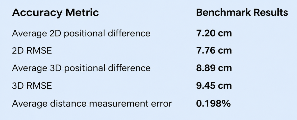
These results reflect the combined performance of the geospatial data capture workflow, including GNSS/RTK positioning, LiDAR scanning, movement tracking, 3D mesh generation, and coordinate extraction.
The average 3D positional difference of 8.89 cm is particularly significant because it was obtained from coordinates extracted directly from continuously generated 3D meshes – rather than exclusively from isolated point measurements.
This demonstrates that accurate geospatial information can be incorporated into comprehensive digital site documentation while field teams capture the surrounding environment.
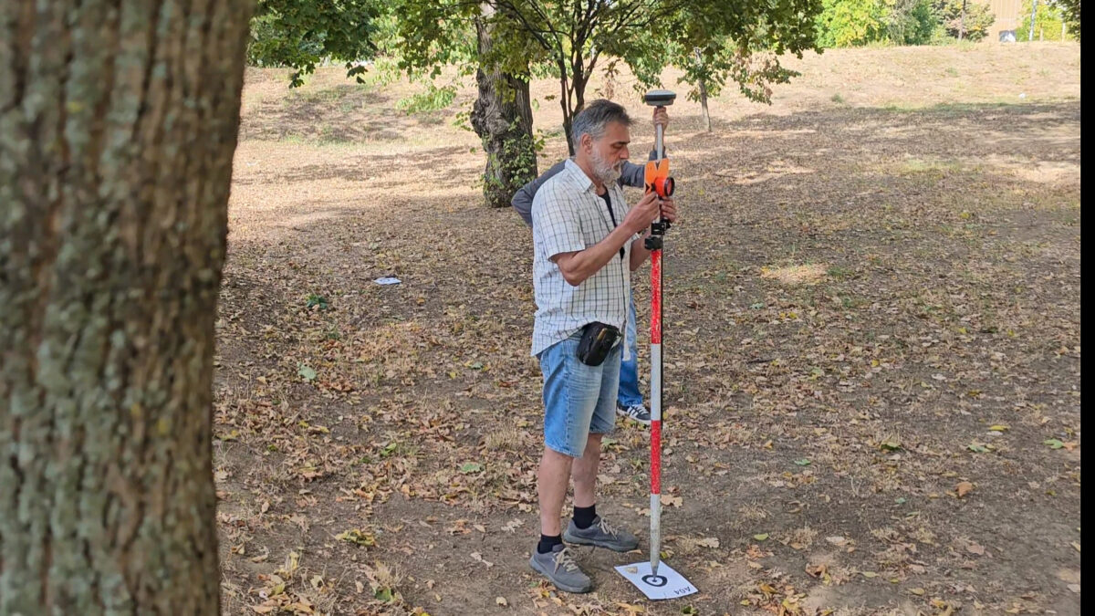
Does Scanning Direction Affect Accuracy?
A reliable mobile scanning solution must perform consistently regardless of how an operator moves through a site.
To evaluate this, the benchmark compared forward, reverse, and stop-assisted scanning methods.
The independently generated scans demonstrated an average three-dimensional positional difference of 9.69 cm between corresponding measurements, confirming strong repeatability across the evaluated acquisition methods.
The results indicate that changing scanning direction or briefly stopping during acquisition did not introduce significant systematic positional drift in the tested environments.
For field teams, this consistency is essential: practical workflows must accommodate real-world movement patterns without compromising the reliability of the resulting documentation.
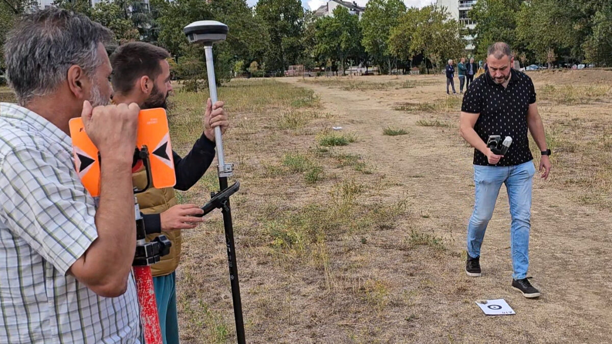
Beyond Coordinates: How Accurately Does CloseOut Preserve Real-World Distances?
Accurate geographic positioning is only part of the equation.
For construction verification, infrastructure documentation, and asset management, the geometric relationships between objects can be just as important as their absolute geographic coordinates.
The benchmark therefore compared distances measured by professional surveyors with corresponding distances extracted directly from CloseOut-generated 3D models.
Across all five test locations, the results demonstrated an average distance measurement error of just 0.198%, with an average absolute distance difference of 6.83 cm.
This confirms that the generated geospatial datasets preserve real-world scale and spatial relationships with a high degree of consistency.
For practical field operations, this enables teams to extract useful measurements from digital site records without requiring separate measurements of every individual element.
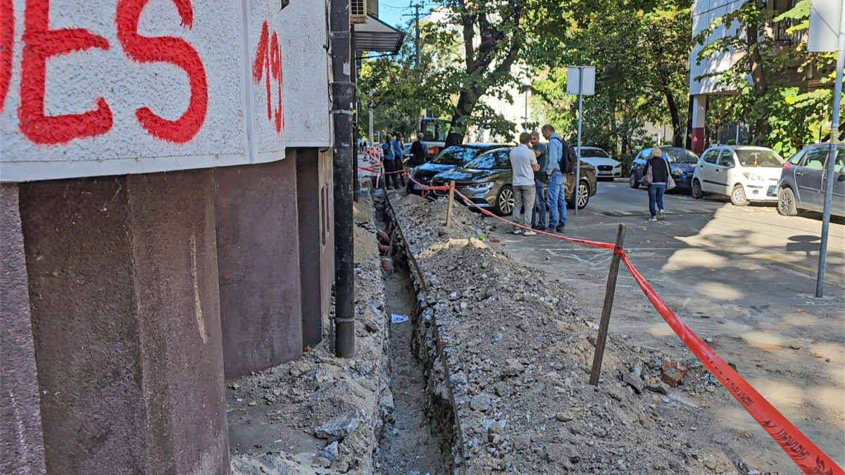
A Critical Test: What Happens When GNSS Signals Become Unreliable?
One of the most significant findings came from the most challenging test location.
Site 4B was an urban canyon with numerous obstacles blocking satellite signals. The trench was positioned close to buildings and beneath dense roadside vegetation.
Due to these challenging conditions, independent reference measurements were established using a Total Station.
Even under these challenging conditions, CloseOut achieved an average 3D positional difference of 13.40 cm compared with the independent Total Station measurements.
This result is particularly relevant for infrastructure projects where buildings, vegetation, and other physical obstacles frequently interfere with satellite reception.
It demonstrates that accurate georeferenced datasets can still be generated without maintaining continuous RTK Fixed positioning along an entire route, provided that sufficient reliable control observations are available.
What Does This Mean for Infrastructure Projects?
The value of accurate geospatial data extends beyond individual measurements.
By integrating GNSS/RTK positioning and LiDAR 3D scanning into a single fieldwork workflow, CloseOut enables teams to capture detailed, georeferenced 3D records as part of their regular activities.
The benchmark findings support practical applications such as:
- Fiber network deployment: Documenting trench routes, installation locations, and infrastructure alignments.
- Digital as-built documentation: Creating georeferenced records of completed construction work.
- Construction quality assurance: Supporting verification of field conditions and completed activities.
- Utility infrastructure management: Recording asset locations and preserving spatial relationships.
- Site inspections and progress monitoring: Capturing measurable 3D documentation for subsequent review and analysis.
Importantly, the objective is not to replace professional geodetic surveying, particularly for cadastral, legal boundary, or other high-order surveying requirements.
Instead, CloseOut brings accurate geospatial data capture into everyday field operations, helping organizations make better use of digital documentation while reducing the need for separate measurement activities in suitable workflows.
Turning Fieldwork Into Reliable Geospatial Data
The benchmark confirmed that CloseOut’s GNSS/RTK-assisted LiDAR 3D scanning technology can generate georeferenced datasets with centimeter-level positional accuracy, strong repeatability, and reliable geometric consistency across a range of operating environments.
From open urban areas to challenging infrastructure corridors with severely degraded GNSS reception, the results demonstrate the potential of integrating accurate geospatial data capture directly into field quality management.
Because the real value of a Digital Twin is not simply how accurately it represents what was built — but how reliably that information can support verification, documentation, and future decisions.
With CloseOut, accurate geospatial documentation becomes part of the fieldwork itself.
Interested in seeing how CloseOut’s 3D scanning and Digital Twin technology can support your infrastructure projects? Get in touch with our team to explore the solution.